
-
Sold Out

Garmin
Garmin BlueChart® g3 HD - HXUS021R - California - Mexico - microSD™/SD™
Regular Price $149.99Your Price $139.01 -

Garmin
Garmin BlueChart® g3 HD - HXCA600X - Canada - microSD™/SD™
Regular Price $219.99Your Price $189.01 -

Garmin
Garmin BlueChart® g3 HD - HUS048R - Bermuda - microSD™/SD
Regular Price $149.99Your Price $139.01 -

-
-
-

Garmin
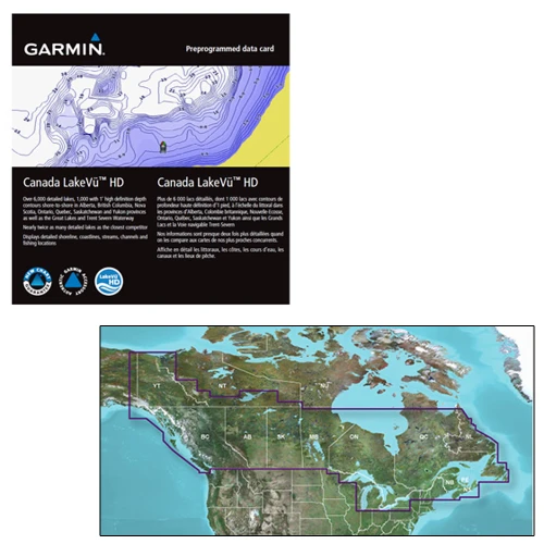
Garmin Canada LakeVü™ g3 Ultra - LVCA100F - microSD™/SD™
Regular Price $199.99Your Price $169.99 -
-
-

-
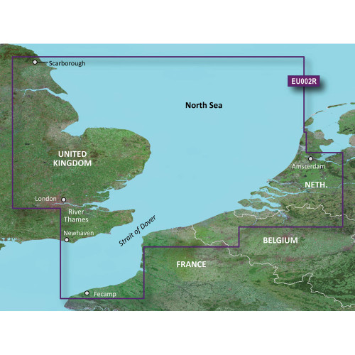
Garmin
Garmin BlueChart® g3 HD - HXEU002R - Dover to Amsterdam & England Southeast - microSD™/SD™
Your Price $129.00 -

Garmin
Garmin BlueChart® g3 HD - HXEU003R - Great Britain Northeast Coast - microSD™/SD™
Your Price $129.00 -

-
-

-

-

Garmin Catography
Marine Charts and Navigation Maps
Garmin Catography & Marine charts and navigation maps help boaters safely plan routes across lakes, rivers, and coastal waterways. These charts provide important information such as water depth, navigation markers, hazards, shoreline features, and marina locations. Whether navigating inland waterways or open coastal areas, up-to-date marine charts help captains identify safe channels, avoid shallow water, and maintain awareness of surrounding navigation aids.
Types of Marine Charts
Nautical Charts
Nautical charts are detailed maps designed specifically for marine navigation. They display water depth, underwater hazards, buoys, and navigation markers to help boaters travel safely.
Digital Navigation Charts
Digital charts are used with marine electronics such as GPS chartplotters and fish finders. These charts allow boaters to view navigation data on electronic displays and update charts more easily.
Regional and Lake Charts
Many charts are designed for specific regions, including inland lakes, rivers, or coastal waters. Choosing charts that match your boating area helps ensure accurate navigation information.
Why Updated Navigation Charts Matter
Waterways can change due to shifting sandbars, construction, dredging, or new navigation markers. Using updated charts helps boaters stay informed about current conditions and avoid potential hazards. Many experienced captains carry both digital charts and printed navigation maps to ensure they always have reliable navigation information available.