
-

Garmin
Garmin BlueChart® g3 HD - HXUS029R - Southern Bahamas - microSD™/SD™
Regular Price $149.99Your Price $139.01 -

Garmin
Garmin BlueChart® g3 HD - HXUS027R - Hawaiian Islands - Mariana Islands - microSD™/SD™
Regular Price $149.99Your Price $139.01 -
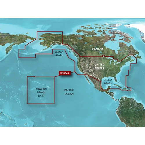
Garmin
Garmin BlueChart® g3 HD - HXUS604x - US All & Canadian West - microSD™/SD™
Regular Price $219.99Your Price $189.01 -

Garmin
Garmin BlueChart® g3 HD - HXUS030R - Southeast Caribbean - microSD™/SD™
Regular Price $149.99Your Price $139.01 -
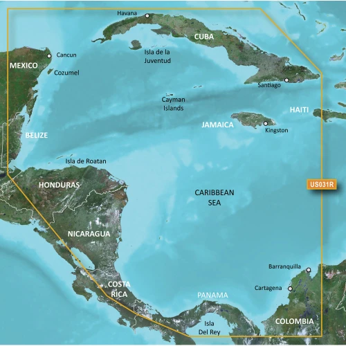
Garmin
Garmin BlueChart® g3 HD - HXUS031R - Southwest Caribbean - microSD™/SD™
Regular Price $149.99Your Price $139.01 -
Sold Out

Garmin
Garmin BlueChart® g3 HD - HXUS021R - California - Mexico - microSD™/SD™
Regular Price $149.99Your Price $139.01 -

Garmin
Garmin BlueChart® g3 HD - HXCA600X - Canada - microSD™/SD™
Regular Price $219.99Your Price $189.01 -

Garmin
Garmin BlueChart® g3 HD - HUS048R - Bermuda - microSD™/SD
Regular Price $149.99Your Price $139.01
Garmin BlueChart Cartography
Garmin BlueChart is a legacy marine cartography platform designed for Garmin chartplotters, providing detailed coastal and offshore navigation data. While Garmin has largely transitioned to its newer Garmin Navionics+ and Navionics Vision+ systems, BlueChart g3 remains highly utilized for older or compatible devices.
Core Product Versions
- BlueChart g3: An affordable base layer combining integrated Garmin and Navionics data. It features detailed 1-foot contours, tidal stations, current data, and fundamental Auto Guidance route planning.
- BlueChart g3 Vision: A premium tier available on microSD cards or via download. It adds advanced 3D visual modes (Mariner’s Eye 3D and Fish Eye 3D), high-resolution satellite imagery overlay, and detailed relief shading to reveal precise underwater structures.
Key Features & Technology
- Auto Guidance: Calculates suggested path trajectories based on your vessel’s specific depth and overhead clearance parameters.
- Depth Range Shading: Enables users to color-code up to 10 distinct depth ranges to identify safe navigation paths at a single glance.
- Shallow Water Shading: Highlights shallow obstacles and user-defined hazard areas to help prevent grounding.
- NOAA Raster Cartography: Free downloadable paper-chart-like alternative layouts available via the Garmin ActiveCaptain mobile application.
Garmin BlueChart Cartography Includes: California-Mexico, Hawaiian Islands & Mariana Islands. Also Includes Southern Bahamas, Caribbean Islands, United States, Canada West, Canada and Bermuda.