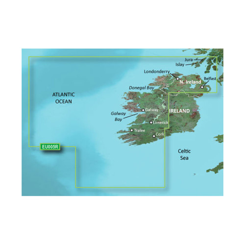
Garmin BlueChart Foreign Cartography
Shop Garmin BlueChart foreign cartography for detailed marine mapping designed for boating and navigation outside the United States. Garmin BlueChart products provide chart data for international coastal waters, offshore areas, and waterways, helping boaters navigate unfamiliar destinations with greater confidence.
Designed for compatible Garmin GPSMAP chartplotters and marine navigation systems, BlueChart cartography can provide information such as coastlines, depth contours, navigational aids, harbors, marinas, anchorages, and other chart details, depending on the coverage area and product.
Whether you're planning an international boating trip, cruising foreign waters, or upgrading your Garmin navigation system, choose the appropriate BlueChart international map or marine chart for your destination and compatible Garmin device.
Shop Garmin BlueChart Foreign Cartography now and get the international marine charts, Garmin navigation maps, coastal cartography, and GPS chart data you need for your next voyage. Choose your coverage area, find the right chart for your Garmin system, and order today to upgrade your on-water navigation.